
The map for the lesson
On the projector or whiteboard: zoom into a region, show or hide names, abbreviations, capitals and seas, switch to a blank map. Annotate the map with pen, highlighter and text while you explain.
For teachers
QGeo is free and works in the browser, on PCs, interactive whiteboards and tablets. It helps you explain with the map and check with quizzes and challenges, without collecting pupils' data.
Choose the regions, the question types, the difficulty and the time. Or start from a quiz in your colleagues' shared library.
QGeo creates a 6-digit code and a QR code to project. The challenge stays active for 90 days.
Pupils type the code or scan the QR code, from a tablet or a PC. No accounts, no personal data: the questions are the same for everyone.
On the projector or whiteboard: zoom into a region, show or hide names, abbreviations, capitals and seas, switch to a blank map. Annotate the map with pen, highlighter and text while you explain.
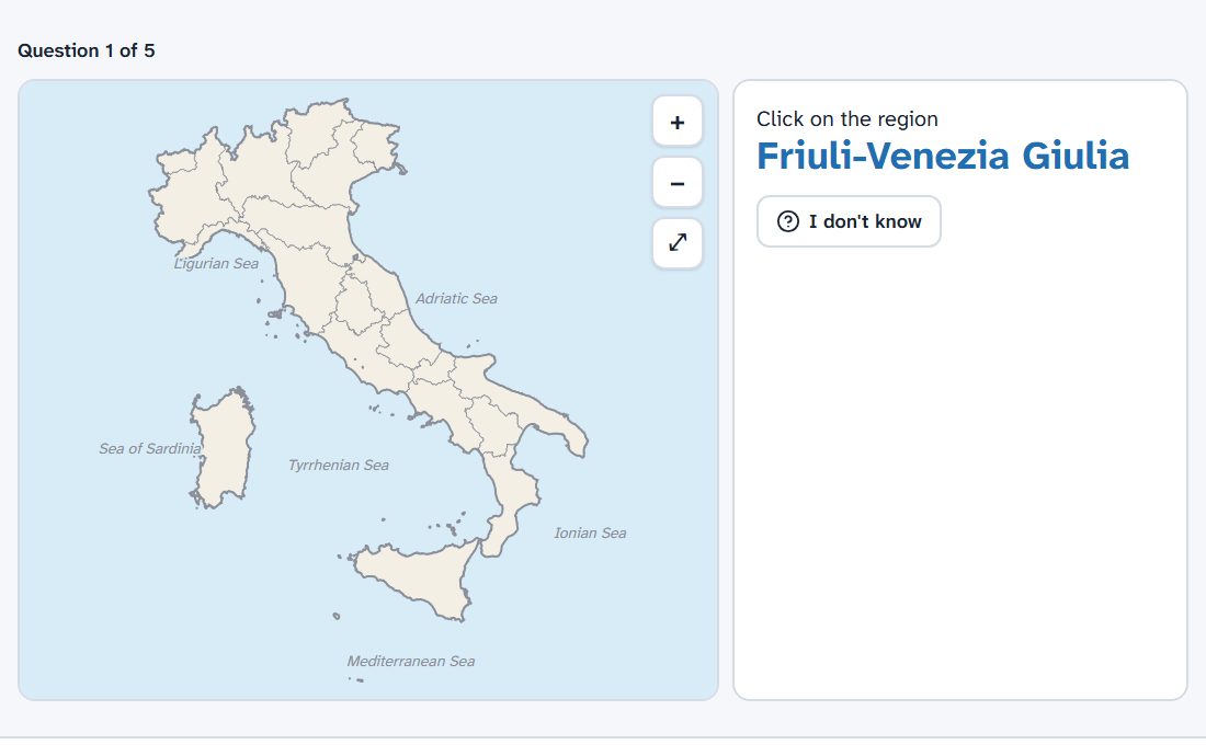
Click on the region or province, find the capital, choose among several answers, drag the names, type the abbreviation. Two levels: Easy, with hints and a second chance, and Hard.
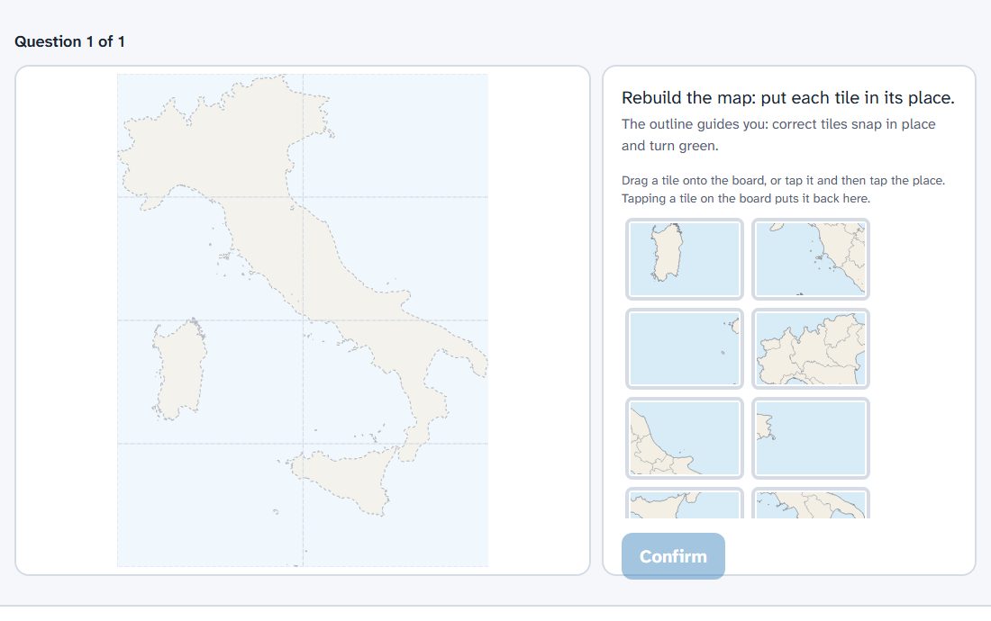
The map split into tiles to put back together: 8 in Easy, 16 in Hard. Tiles are dragged with a finger on tablets.
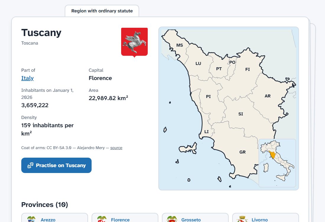
Every region and province has its card, with coat of arms, official ISTAT data, neighbours and map: to go deeper in class or revise at home.
Share your quizzes with colleagues and copy theirs. Public quizzes, checked before they appear, are available to everyone among the Available challenges.
Signing up is free. After you confirm your email the account is activated by the administrator; meanwhile you can try free practice and the public challenges as a guest.
Any other questions? Read the frequently asked questions